
Bird Flu Is Now Killing Wild Animals on Every Continent
August 11, 2026 · 4 min read
Avian influenza has circulated in wild birds for as long as anyone has looked for it. What has happened since 2021 is different in kind, not merely in scale.
A variant known as H5N1 clade 2.3.4.4b spread out of Europe and across the world, reaching South America, the Antarctic region and mainland Australia. It is now present on every continent, and it has crossed from birds into mammals more often than any previous influenza strain in wildlife.
What makes this outbreak different
Earlier avian flu events were mostly a poultry problem. They flared on farms, were contained, and faded between seasons.
This one established itself in wild birds and stayed there. Rather than dying out each year, it travels with migrating birds, arrives with them, and infects whatever it meets on arrival. That shift from farm pathogen to wildlife pathogen is why the map keeps expanding instead of resetting.
The second difference is the jump into mammals. The virus has now been detected in at least 48 mammal species, from seals and sea lions to foxes, bears and domestic cattle. Most of those infections come from eating or scavenging infected birds, but in several outbreaks the pattern of spread has suggested transmission between mammals themselves.
The wild animals being hit hardest
A study published in Conservation Biology in 2025 documented infections in at least 83 wild bird species and 11 wild mammal species across South America and the Antarctic region alone, with an estimated toll there of at least 667,000 wild birds and 52,000 wild mammals.
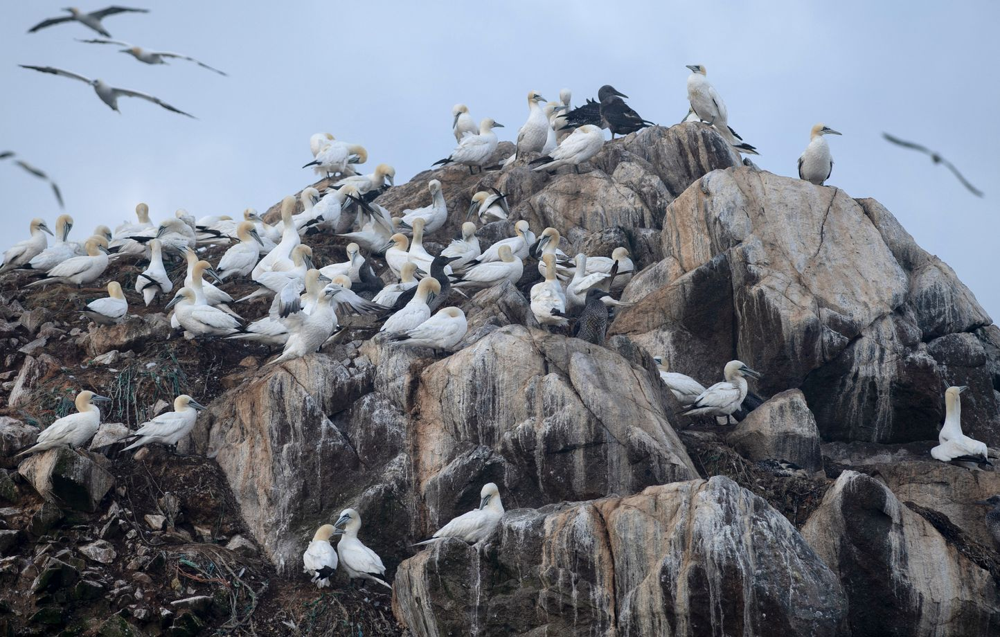
The pattern is consistent. Species that breed in dense colonies suffer most, because the virus moves easily wherever thousands of animals nest within pecking distance of one another.
- Seabirds. Gannets, terns, skuas and pelicans have lost large fractions of individual colonies.
- Marine mammals. South American sea lions and southern elephant seals were hit severely along the coasts of Peru and Argentina.
- Scavengers and predators. Condors, eagles and vultures are exposed because the food they seek out is exactly what the virus leaves behind.
- Species already at the edge. For a bird that breeds at one small site, a single outbreak is not a setback but an extinction risk.
Why migration routes explain the map
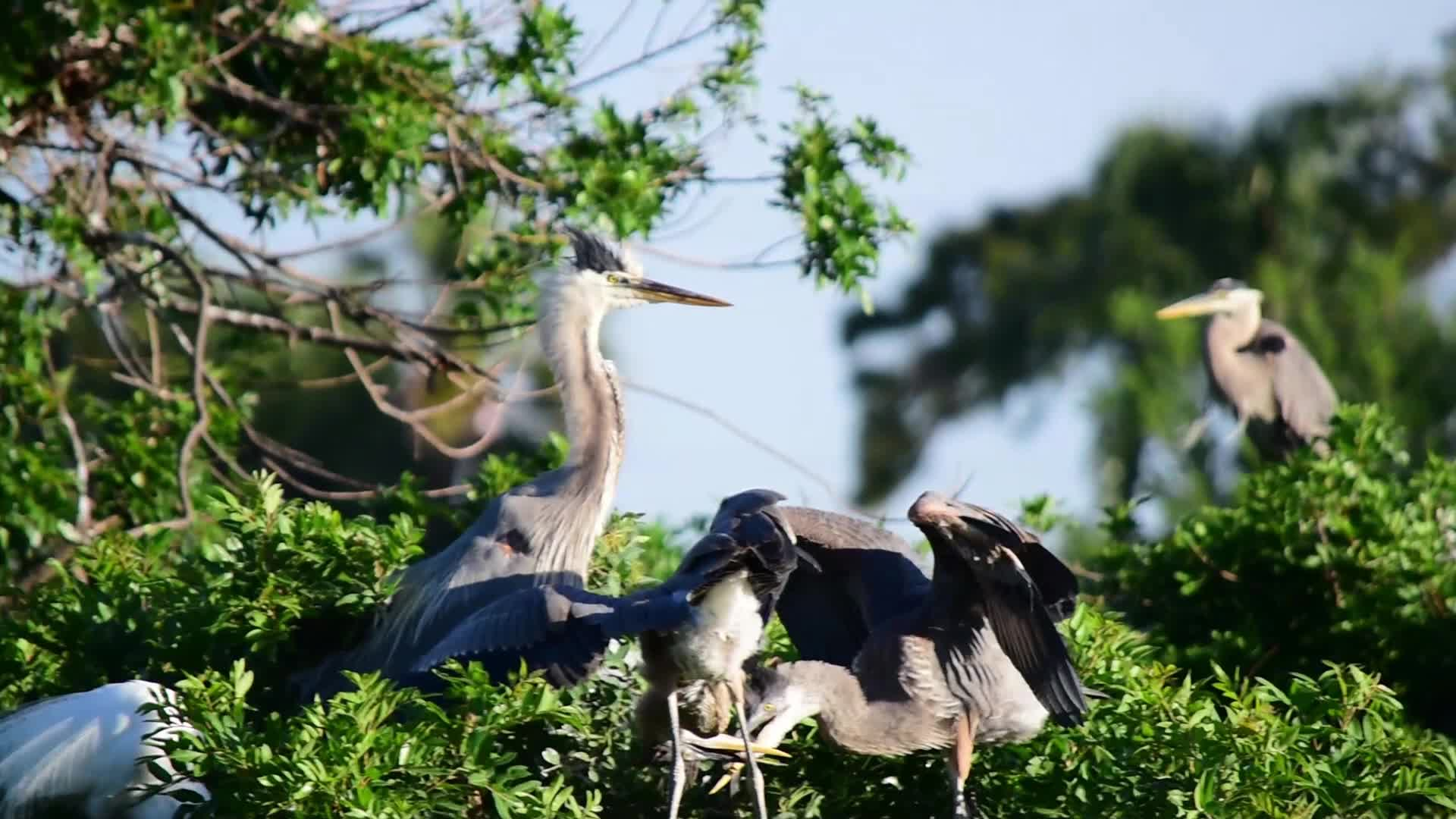
Wild birds are both the victims and the vehicle. Waterfowl in particular can carry the virus while showing few symptoms, which makes them efficient long-distance transporters.
That is why the spread has followed flyways rather than borders. It moved down the Americas along the Pacific and Atlantic corridors, reached the far south by way of sub-Antarctic islands where migratory seabirds gather, and arrived in Australia along the routes shorebirds use every year.
To guess where the virus goes next, you do not look at a political map. You look at where the birds go.
What can actually be done
Vaccinating wild populations at scale is not realistic, so the response is mostly about limiting damage.
Surveillance matters most, because knowing which colonies are affected lets managers close sites, restrict access, and avoid carrying the virus between them on boots and boat hulls. Biosecurity on poultry farms reduces the reservoir feeding back into wild birds. And for the most vulnerable species, conservation programmes are increasingly building redundancy: captive populations, second colony sites, genetic reserves, so that one outbreak cannot take everything at once.
For the general public the health risk remains low, though agencies monitor it closely and it is a real occupational concern for poultry and dairy workers.
Following it on a map
The reason this outbreak is hard to grasp from headlines is that it is fundamentally a geographic story rather than a medical one. It spreads along routes, concentrates in colonies, and its consequences depend entirely on where a species lives and how tightly it packs together.
That is where a map does the work. Animal World Map lets you see which species range along an affected flyway and which of them were already listed as threatened, which turns a stream of outbreak reports into something you can actually reason about.
Takeaway
This is the largest wildlife disease event of its kind on record, and it is not finished. The species most at risk are not always the rarest ones, but the ones that gather in dense colonies along migratory routes. Watch the flyways, not the borders.

Get the mobile app now
Explore wildlife anywhere, even offline.
 App Store