The interactive animal map of the world
Spin the globe, zoom into any region and open a species to see where it actually lives. 4,248 mammals plotted across 175 countries, out of the 6,036 the IUCN Red List has assessed — each with its Red List status, and a written profile wherever we have researched one.
Open the full screen map
An interactive globe of the world's mammals, mapped from IUCN Red List assessments.
What you can explore on the animal map
Animal World Map is a wildlife map you can spin, zoom and search. Every marker on the globe is a real species with a Red List assessment behind it, placed where that animal has actually been recorded, so instead of reading that an animal lives “in Asia”, you can see the mountains, coastlines and river basins its range is tied to.
The globe carries 4,248 mammal species across 175 countries and 7 continents, drawn from the 6,036 mammals the Red List has assessed — every one of which has a page here. 925 of them carry a full written profile: scientific name, conservation status, the habitats they depend on, what they eat, how they breed, the threats they face and the conservation work under way. The rest are listed from their Red List assessment while we research them, and you can ask for any of them to be written next.
It is built for the questions people actually ask about wildlife: where a species lives, what its habitat looks like, how much ground its distribution still covers compared with what it once did, and how close it is to disappearing. Teachers, students, travellers planning where to look for an animal, and anyone who followed a photo down a rabbit hole all end up needing the same thing, a map with the species data attached to it.
- Species mapped
- 4,248
- Countries covered
- 175
- Threatened species
- 1,364
- Data updated
- August 9, 2026
Explore animals by continent
Every continent solved the problem of being an animal differently, because each was isolated for a different length of time. Africa kept its large mammals, South America evolved its own from scratch, Australia never had placental mammals at all. Each page explains what shaped that fauna and lists the species recorded there.
All the ways to exploreBrowse animals by conservation status
The IUCN Red List sorts every assessed species into one of nine categories, from Least Concern to Extinct. It is the closest thing wildlife has to a global scoreboard, and it is the fastest way into the catalogue: pick a category to see which of the mapped species sit in it.
The most endangered animals on the map
These 48 species carry the Red List's heaviest categories: Critically Endangered first, then Endangered. Several of them survive on a single mountain range or one stretch of coast, which is exactly what a distribution map makes obvious and a paragraph of text does not. Open one for its range, its habitat and its Red List assessment.
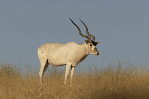 CR
CRAddax
Addax nasomaculatus
Critically restricted to a tiny area of the Sahara Desert in central Niger (Termit & Tin Toumma National Nature Reserve) and possibly remnant individuals in Chad. Historically ranged from Mauritania to Sudan. Reintroduced populations exist in Tunisia, Morocco, and Senegal.
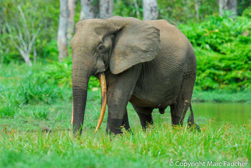 CR
CRAfrican Forest Elephant
Loxodonta cyclotis
Central and West Africa, primarily the Congo Basin including Gabon, Republic of Congo, Democratic Republic of Congo, Cameroon, and Central African Republic
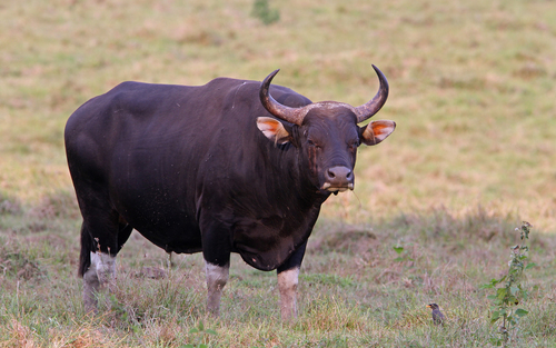 CR
CRBanteng
Bos javanicus
Southeast Asia, including Java, Borneo, mainland Southeast Asia (Thailand, Cambodia, Myanmar, Laos, Vietnam), with a feral population in Northern Australia
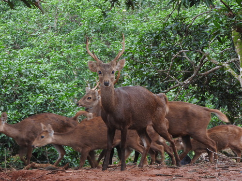 CR
CRBawean Deer
Axis kuhlii
Endemic to Bawean Island, East Java Province, Indonesia (Java Sea)
 CR
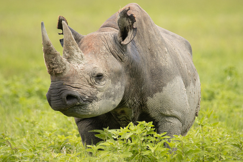
CRBlack Rhinoceros
Diceros bicornis
Southern and Eastern Africa, primarily South Africa, Namibia, Kenya, Zimbabwe, and Tanzania
 CR
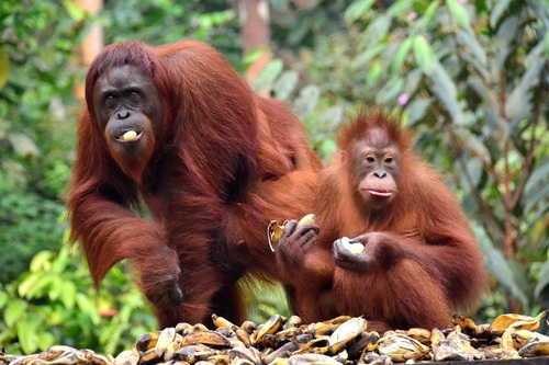
CRBornean Orangutan
Pongo pygmaeus
Island of Borneo, shared by Indonesia (Kalimantan) and Malaysia (Sabah and Sarawak)
 CR
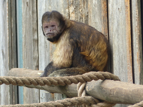
CRBuff-headed Capuchin (Golden-bellied Capuchin)
Sapajus xanthosternos
Eastern Brazil, restricted to the Atlantic Forest region of Bahia state
 CR
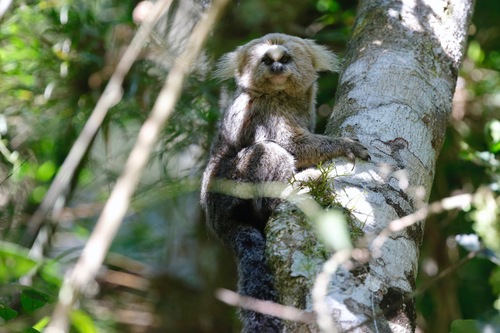
CRBuffy-headed Marmoset
Callithrix flaviceps
Southeastern Brazil, restricted to the state of Espírito Santo and adjacent parts of Minas Gerais
 CR
CRBulmer's Fruit Bat
Aproteles bulmerae
Endemic to Papua New Guinea; the only confirmed living colony is located at Luplupwintem Cave in the Hindenburg Wall area, Star Mountains, Western Province.
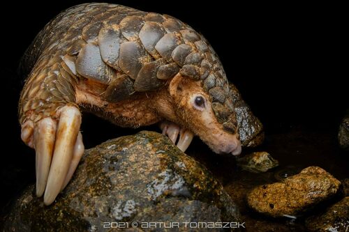 CR
CRChinese Pangolin
Manis pentadactyla
Southern China, Taiwan, Northern India, Nepal, Bhutan, Bangladesh, Myanmar, and northern Vietnam/Laos
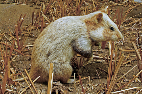 CR
CRCommon Hamster
Cricetus cricetus
Central and Eastern Europe, extending into Western Siberia and parts of Central Asia, with notable populations in France (Alsace), Germany, Austria, and countries further east.
 CR
CRDe Winton's Golden Mole
Cryptochloris wintoni
Endemic to a small stretch of the west coast of South Africa, primarily around Port Nolloth in the Northern Cape province.
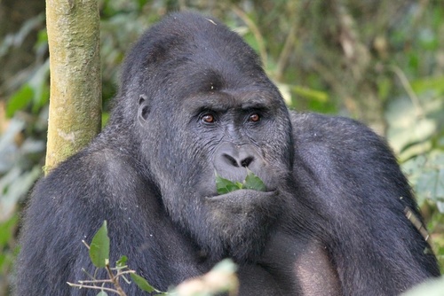 CR
CREastern Gorilla
Gorilla beringei
Democratic Republic of Congo, Rwanda, and Uganda, in the Albertine Rift region of Central Africa
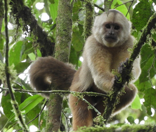 CR
CREcuadorian White-fronted Capuchin
Cebus aequatorialis
Western Ecuador and extreme northwestern Peru
 CR
CRHarenna Shrew
Crocidura harenna
Southeastern Madagascar, restricted to lowland and mid-altitude rainforest fragments in the Ranomafana–Andringitra forest corridor
 CR
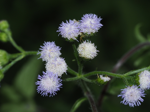
CRIndri
Indri indri
Eastern Madagascar rainforests, primarily in fragmented protected areas along the eastern escarpment
 CR
CRJavan Rhinoceros
Rhinoceros sondaicus
Ujung Kulon National Park, western Java, Indonesia (the only surviving population in the world)
 CR
CRJenkin's Shrew
Crocidura jenkinsi
Seychelles (Silhouette Island)
 CR
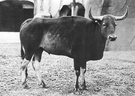
CRKouprey
Bos sauveli
Historically Cambodia, with border areas of Thailand, Laos, and Vietnam
 CR
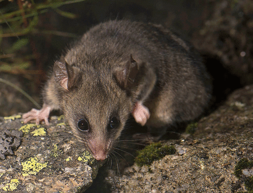
CRMountain Pygmy Possum
Burramys parvus
Australia (alpine regions of Victoria and New South Wales)
 CR
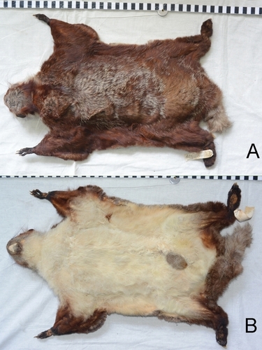
CRNamdapha Flying Squirrel
Biswamoyopterus biswasi
Northeastern India (Arunachal Pradesh), specifically the Namdapha National Park region
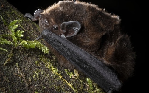 CR
CRNew Zealand Long-tailed Bat
Chalinolobus tuberculatus
New Zealand (North Island, South Island, and some offshore islands)
 CR
CRNicobar Shrew
Crocidura nicobarica
Great Nicobar Island, India (Nicobar Archipelago, Bay of Bengal)
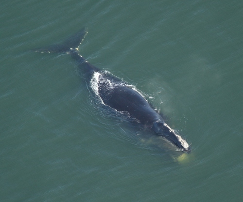 CR
CRNorth Atlantic Right Whale
Eubalaena glacialis
Coastal and offshore waters of the eastern United States and Canada, primarily the Gulf of Maine, Bay of Fundy, and southeastern US coast (Georgia/Florida calving grounds).
 CR
CRNorthern Hairy-nosed Wombat
Lasiorhinus krefftii
Central Queensland, Australia, restricted to Epping Forest National Park and a reintroduced population at Richard Underwood Nature Refuge
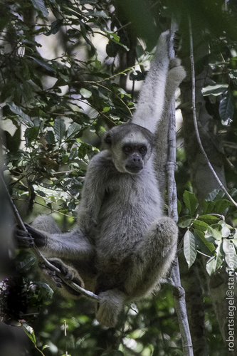 CR
CRNorthern Muriqui
Brachyteles hypoxanthus
Brazil, restricted to fragments of the Atlantic Forest in the states of Minas Gerais, Espírito Santo, Bahia and Rio de Janeiro
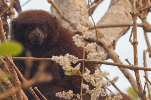 CR
CROlalla Brothers' Titi
Plecturocebus olallae
Bolivia (Beni Department)
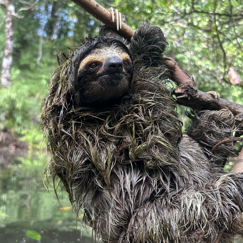 CR
CRPygmy Three-toed Sloth
Bradypus pygmaeus
Isla Escudo de Veraguas, a small island off the Caribbean coast of Panama
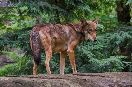 CR
CRRed Wolf
Canis rufus
United States (eastern North Carolina, specifically the Albemarle Peninsula)
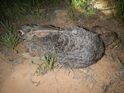 CR
CRRiverine Rabbit
Bunolagus monticularis
South Africa (Karoo region, Western Cape, Northern Cape, and Free State provinces)
 CR
CRRoloway Monkey
Cercopithecus roloway
Ghana and Côte d'Ivoire (Ivory Coast), West Africa
 CR
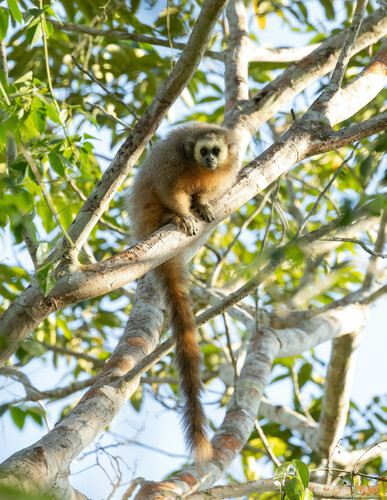
CRSan Martin Titi Monkey
Plecturocebus oenanthe
Peru (San Martín region and adjacent parts of Loreto and Amazonas)
 CR
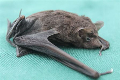
CRSeychelles Sheath-tailed Bat
Coleura seychellensis
Seychelles (Silhouette, Mahé and North Island)
 CR
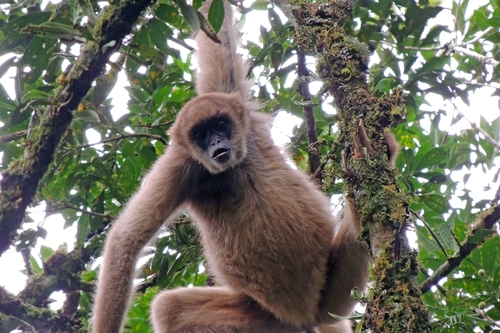
CRSouthern Muriqui
Brachyteles arachnoides
Brazil (Atlantic Forest of São Paulo, Paraná, and Rio de Janeiro states)
 CR
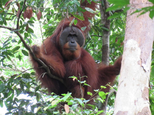
CRSumatran Orangutan
Pongo abelii
Northern Sumatra, Indonesia
 CR
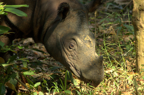
CRSumatran Rhinoceros
Dicerorhinus sumatrensis
Indonesia (Sumatra), with a small population possibly remaining in Kalimantan (Borneo)
 CR
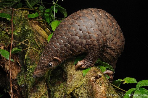
CRSunda Pangolin
Manis javanica
Southeast Asia, including Indonesia, Malaysia, Thailand, Vietnam, Laos, Cambodia, Myanmar, Singapore, Brunei, and the Philippines
 CR
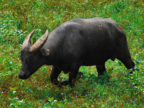
CRTamaraw
Bubalus mindorensis
Philippines, endemic to Mindoro Island
 CR
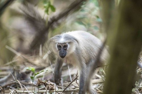
CRTana River Mangabey
Cercocebus galeritus
Kenya, restricted to the lower Tana River floodplain forests in Coast Province
 CR
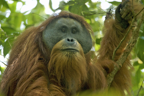
CRTapanuli Orangutan
Pongo tapanuliensis
Indonesia, specifically the Batang Toru ecosystem in North Sumatra province, Sumatra island
 CR
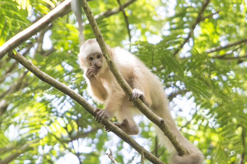
CRTrinidad White-fronted Capuchin
Cebus trinitatis
Trinidad (island nation of Trinidad and Tobago), restricted to remnant forest patches
 CR
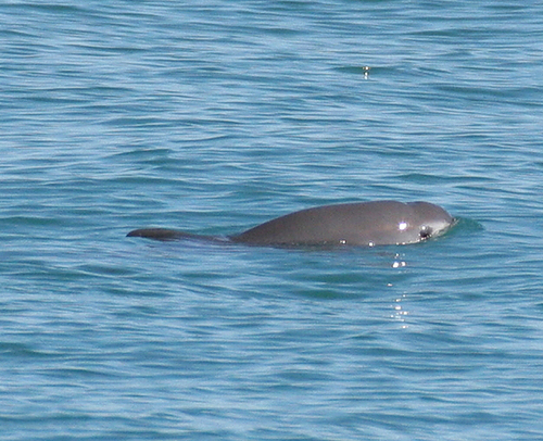
CRVaquita
Phocoena sinus
Northern Gulf of California, Mexico
 CR
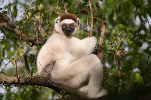
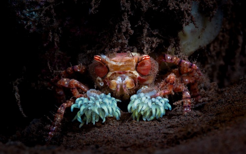
CRVerreaux's Sifaka
Propithecus verreauxi
Madagascar (western and southwestern regions)
 CR
CRWestern Gorilla
Gorilla gorilla
Central Africa - primarily Cameroon, Central African Republic, Republic of Congo, Equatorial Guinea, Gabon, and Angola (Cabinda)
 CR
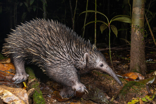
CRWestern Long-beaked Echidna
Zaglossus bruijnii
New Guinea, primarily in the Cyclops Mountains and other remote highland areas of Papua, Indonesia
 CR
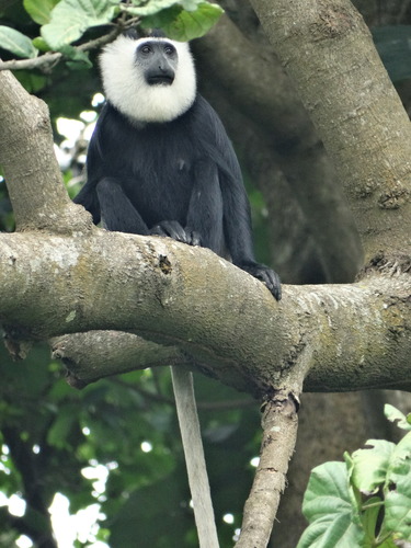
CRWhite-thighed Colobus
Colobus vellerosus
West Africa, primarily Ghana, Côte d'Ivoire, Togo, and Benin
 EN
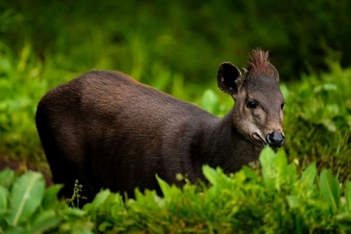
ENAbbott's Duiker
Cephalophus spadix
Tanzania (Eastern Arc Mountains and highland forests)
 EN
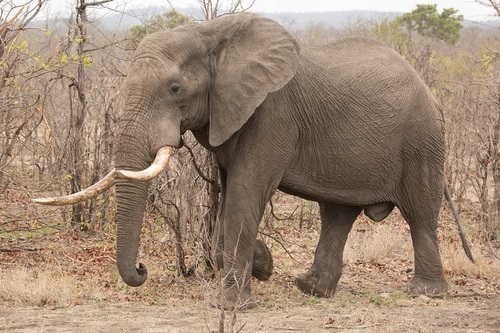
ENAfrican Savanna Elephant
Loxodonta africana
Sub-Saharan Africa, primarily Eastern and Southern Africa including Botswana, Tanzania, Kenya, Zimbabwe, South Africa, and Namibia
Latest from the blog
Longer reads that use the map as the argument: where two lookalike species actually overlap, which animals are closest to disappearing, and why so many of them move across the planet twice a year.
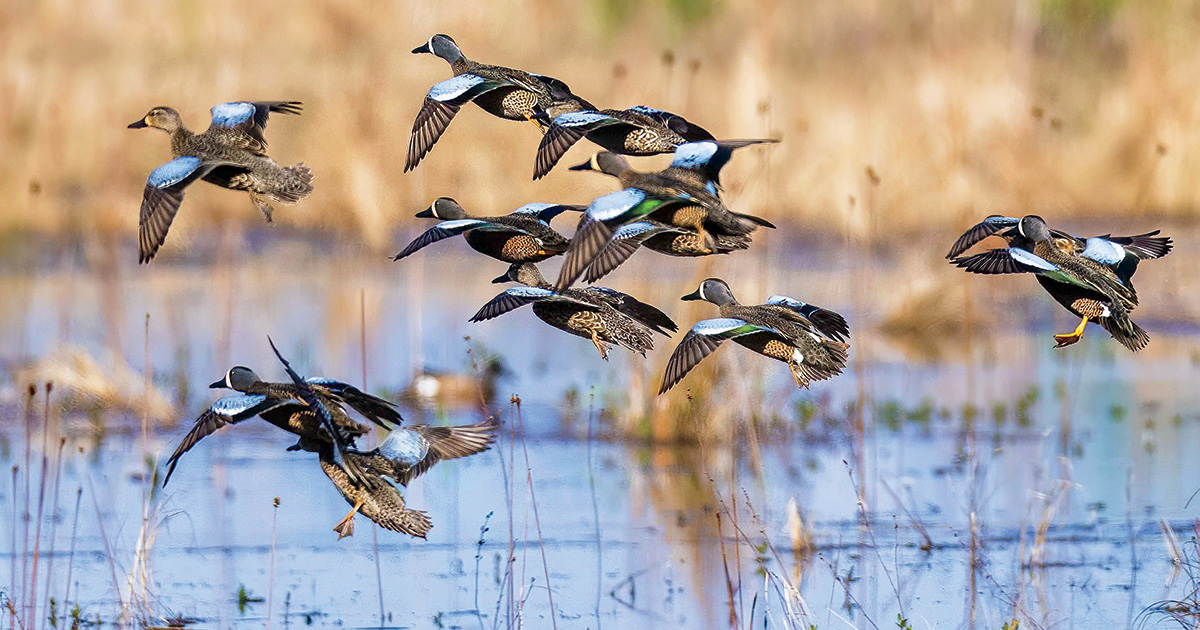
August 13, 2026 · 4 min read
Live Bird Migration Maps: How to Watch a Billion Birds Move
Weather radar picks up migrating birds almost as clearly as it picks up rain. That accident of physics became a public forecast you can check tonight.
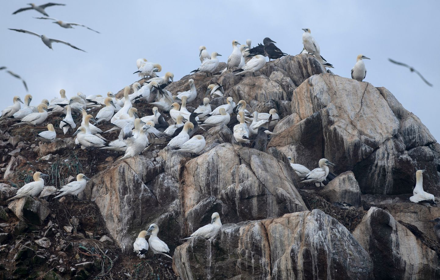
August 11, 2026 · 4 min read
Bird Flu Is Now Killing Wild Animals on Every Continent
A strain of avian influenza that took off in 2021 has reached Antarctica and crossed into at least 48 mammal species. Here is what it is doing to wildlife, and why migration routes explain the map.
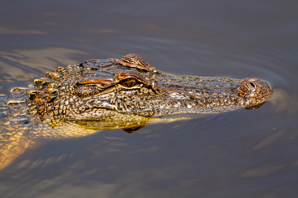
August 10, 2026 · 3 min read
Alligator vs Crocodile: How to Tell Them Apart, and Where Each One Lives
The snout-and-teeth checklist is only half the answer. The faster test is geography, because these two animals share a home in exactly one place on Earth.
Questions about the map and the data
Where does the species data come from?
Every species page is built from IUCN Red List assessments, the reference source for conservation status, population trend and geographic range, combined with photographs contributed to iNaturalist. The catalogue mirrors the 6,036 mammals currently assessed on the Red List, and each one has a page here.
How many animals are on the map?
4,248 species carry a marker on the globe today, spanning 175 countries across 7 continents. All 6,036 assessed mammals are listed and have a page, but only 925 have a full written profile so far. You can ask for any of the others to be researched next.
How often is the map updated?
The species dataset was last refreshed on August 9, 2026. The IUCN publishes new Red List versions several times a year, and each one is folded in: conservation status, population estimates and range descriptions are re-checked against the latest assessment.
How many of these animals are endangered?
1364 of the 6036 assessed species are threatened, that is the IUCN definition, covering the Vulnerable, Endangered and Critically Endangered categories. Of those, 238 are Critically Endangered, the last category before extinction in the wild.
Is Animal World Map free to use?
Yes. The world map, the species catalogue and the blog are free and need no account. Credits are only used for the optional extras: talking to the AI wildlife guide and generating narrated animal stories.
Can I see which animals live in a specific place?
Yes. Every continent has its own page listing the species recorded there, the countries they cross and their conservation status. You can also zoom the map to a region, or search the catalogue by name, each entry gives the countries and habitats its Red List assessment names.